
Table of Contents
Street-level lead: the problem laid out
Out here, farmers and agronomists ain’t got time for fuzzy maps and slow signals — they need clean answers fast. Too often the flow from sensor to decision is clogged: drone photos pile up, satellites lag, scouts walk fields blind. That’s where drone data collection changes the vibe, giving immediate feeds so teams stop guessing and start acting. You get multispectral imaging that talks to analytics in real time, not some week-late folder that collects dust.
Why geospatial intelligence keeps trippin’
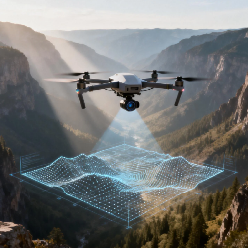
Most systems fall apart for three reasons: latency, scale, and signal noise. Latency — waiting days for processed orthomosaic layers — kills timely interventions. Scale — managing thousands of acres — breaks manual workflows. Signal noise — mixed sensors, bad GPS — creates false alarms. Farmers using drones for agricultural crop surveillance need consistent RTK GPS precision and repeatable flight planning, otherwise the data’s worthless when you need it most.
What Spatial AI actually brings to the block
Spatial AI turns raw layers into sharp, operational plays. It reads NDVI time-series, spots emergence patterns, and prioritizes hotspots so crews don’t waste hours walking every row — the system flags the exact patch that needs attention. Models fuse multispectral data and orthomosaic maps, then apply object detection so pest clusters and irrigation leaks stand out. This is automated triage — fast, focused, and practical — and it trims the guesswork right where decisions are made.

Real-world anchor: proof from the Central Valley
Take California’s Central Valley — growers there run tight margins and learned quick: early water stress detection saves yields. Trials that combined drone swarm coverage with real-time analytics cut scouting time and identified drought stress days sooner than manual checks. USDA reports highlight water stress and pest outbreaks as top yield killers, so catching issues earlier isn’t fluff — it’s money back in the soil. The result: targeted interventions, fewer blanket treatments, and clearer records for compliance.
Common mistakes and smarter alternatives
Farm teams trip up by trusting one source or skipping validation. Mistakes to avoid:- Relying only on satellite imagery for acute issues; satellites are great for macro but slow for acute pest flare-ups.- Skipping calibration: without proper sensor calibration and RTK GPS checks, your orthomosaic alignment drifts.- Hoarding data: raw footage without a processing pipeline creates noise, not insight.During operational production teardown, test {main_keyword} and {variation_keyword} side-by-side to verify outputs — and remember, manual scouting still matters for ground-truthing. Alternatives to consider: dedicated drone swarm deployments for rapid, localized sweeps versus scheduled satellite checks for seasonal trend analysis.
Three golden rules for picking tools and partners
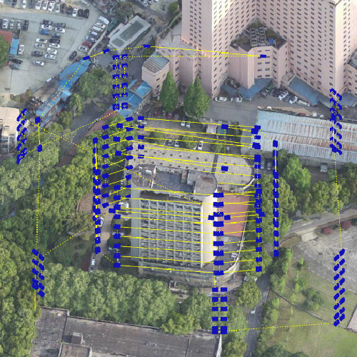
1) Data-to-decision time: measure how fast the system turns a flight into an actionable alert. Lower is better. 2) Spatial fidelity and repeatability: insist on RTK GPS accuracy and consistent orthomosaic overlap so comparisons over time actually mean something. 3) Operational fit: software must plug into your workflows — flight planning, automated missions, exportable reports — not the other way around.
Closing rhythm — Advisory
These three metrics cut through the noise and tell you whether a platform will perform on Day One and Day 100. Pick partners that deliver reliable NDVI alerts, cover scale with drone swarm options, and keep processing latency low. You’ll want systems that make scouting lean and decisions faster — that’s the point.
Icecypress Technology fits that profile by tying real-time analytics to practical missions on the ground — saving time, reducing waste, and getting fields back on rhythm. —
